The Red Line is the backbone of the Dubai Metro system. Stretching across the city from east to west, it serves as a vital artery connecting some of Dubai’s most important districts and landmarks. The Dubai Metro Red Line map is a visual representation of this route, showcasing the line’s 29 stations and their locations within the city.
Key Features of the Metro Dubai Map
Before we delve into the specifics of the Red Line, let’s take a moment to understand the overall metro Dubai map:
- Color-coded lines: The map uses distinct colors to represent different metro lines, making it easy for passengers to identify their desired route.
- Station names: Each station is clearly labeled, often reflecting nearby landmarks or neighborhoods.
- Interchange stations: Points where different lines intersect are highlighted, allowing passengers to plan transfers efficiently.
- Direction indicators: The map shows the direction of travel, typically using terminal station names as reference points.
Exploring the Dubai Metro Red Line Map in Detail
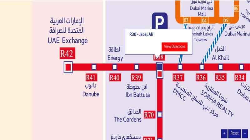
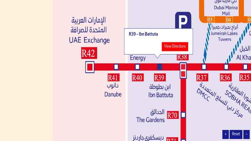
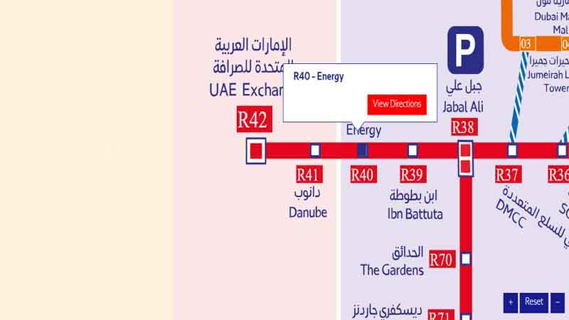
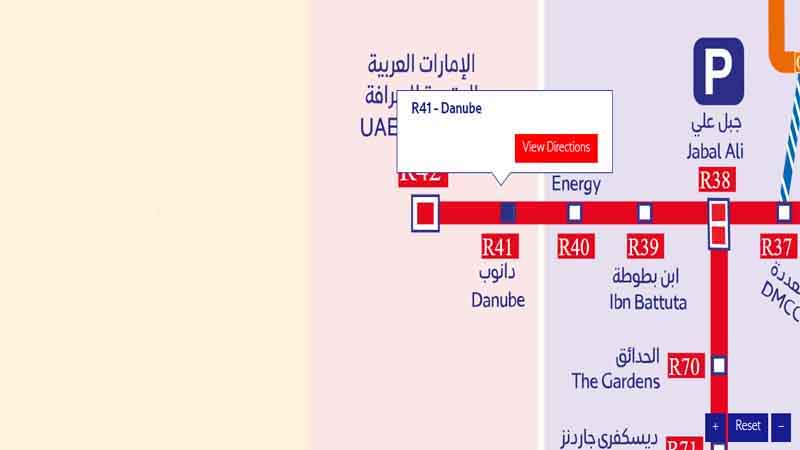
The Dubai Metro Red Line map is a linear representation of the route, stretching from Rashidiya in the east to UAE Exchange in the west. Let’s break down the key sections and stations along this line.
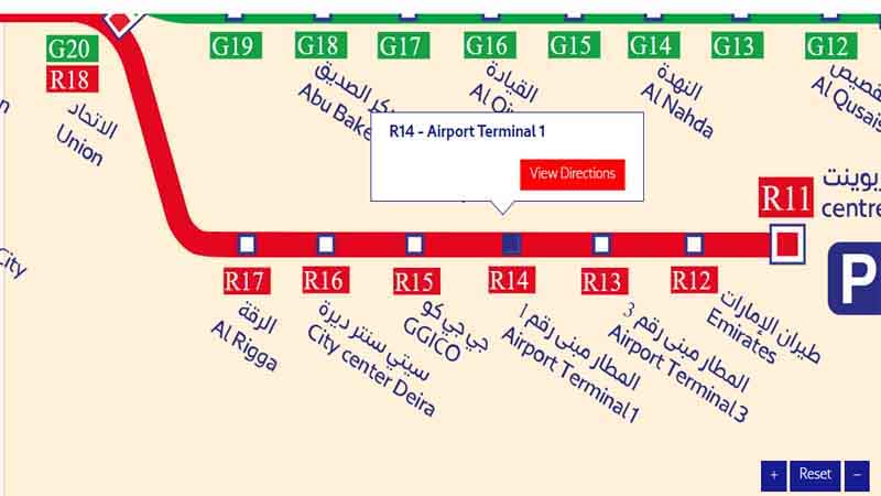
Eastern Section: Rashidiya to Deira City Centre
The eastern part of the Red Line metro Dubai serves the older parts of Dubai, including areas around Dubai Creek and the airport. Key stations in this section include:
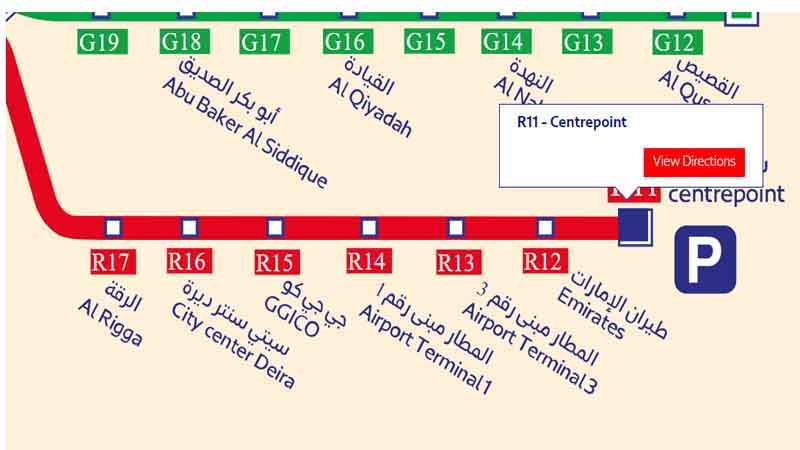
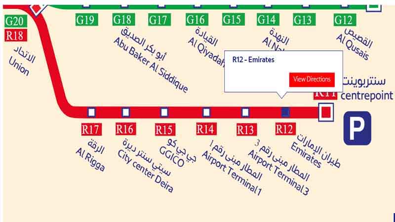
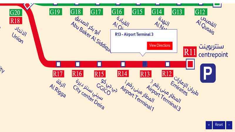
- Rashidiya (Terminal station)
- Emirates Station
- Airport Terminal 3
- Airport Terminal 1
- GGICO
- Deira City Centre
This section is particularly important for travelers, as it provides direct access to Dubai International Airport.
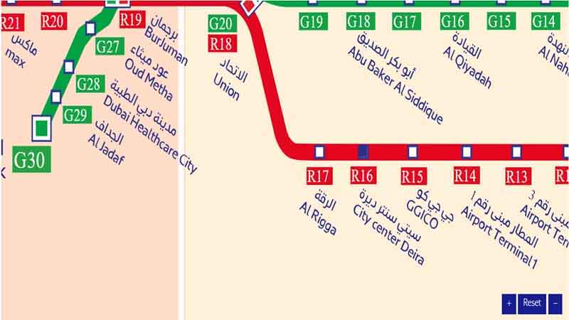
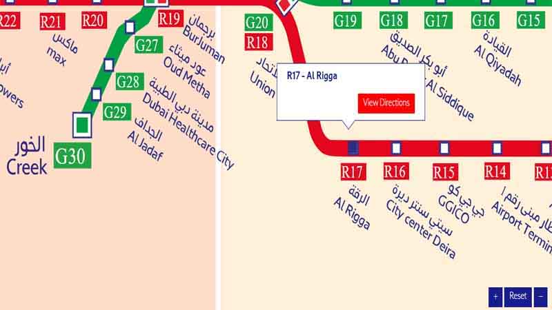
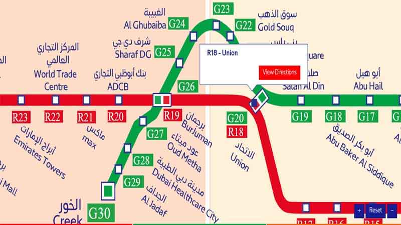
Central Section: Union Square to Burj Khalifa/Dubai Mall
The central part of the Dubai red line metro map covers the heart of the city, including the bustling areas of Deira and Bur Dubai. Notable stations include:
- Union Square (Interchange with Green Line)
- Al Rigga
- Deira City Centre
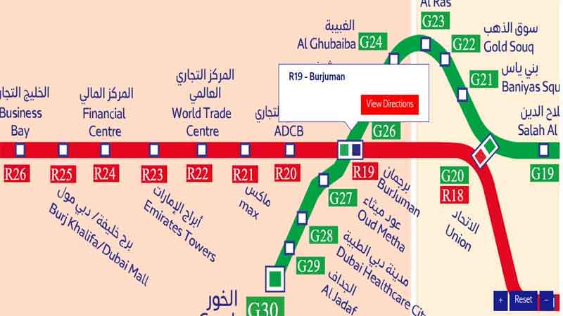
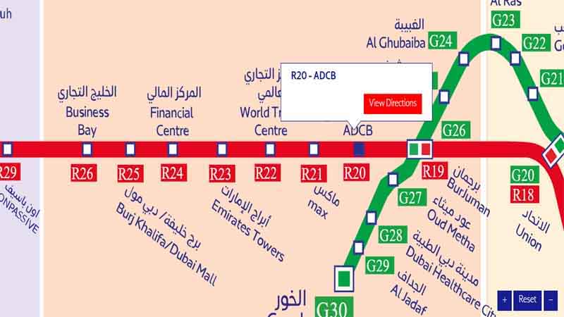
- BurJuman (Interchange with Green Line)
- Dubai Healthcare City
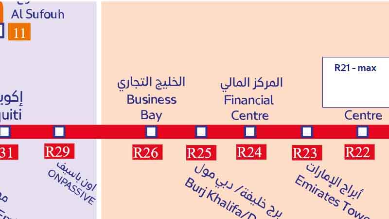
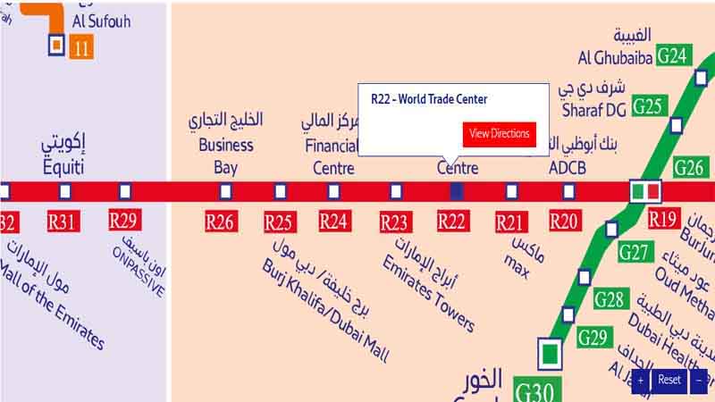
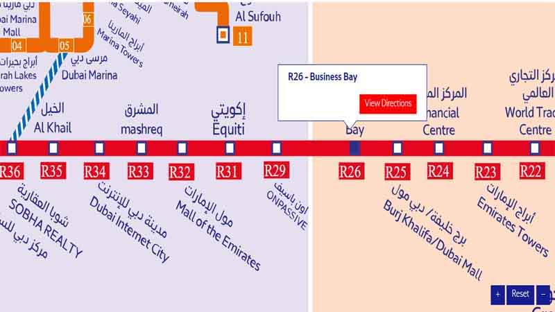
- Business Bay
- Burj Khalifa/Dubai Mall
This section is crucial for commuters and tourists alike, providing access to major business districts and popular attractions.
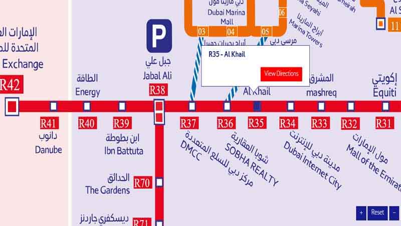
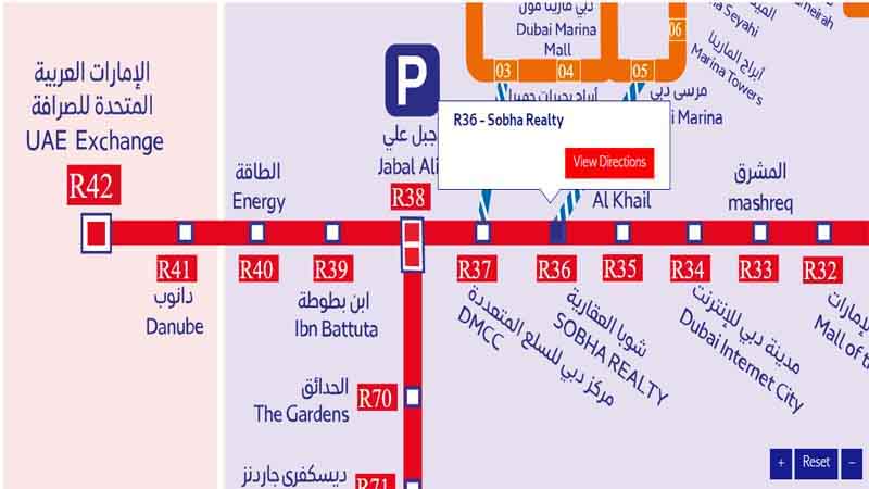
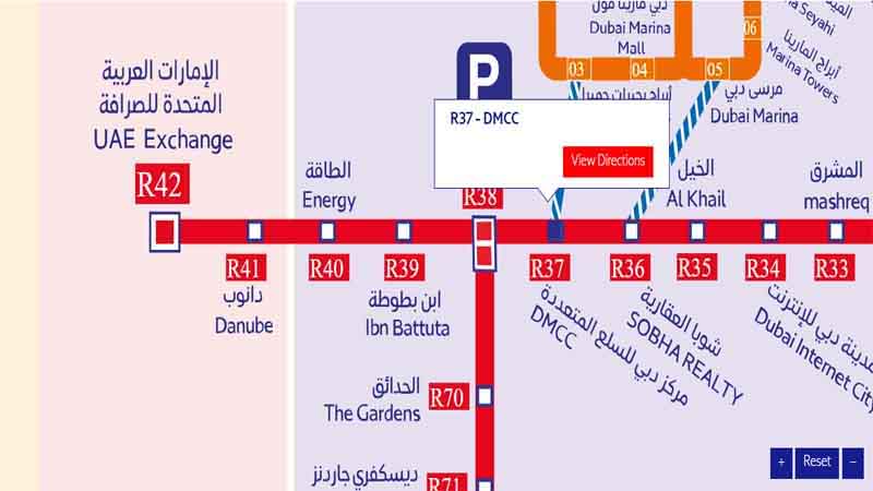
Western Section: Business Bay to UAE Exchange
The western part of the red line metro route extends into newer areas of Dubai, including the bustling Internet and Media Cities. Key stations in this section are:
- Noor Bank
- First Abu Dhabi Bank
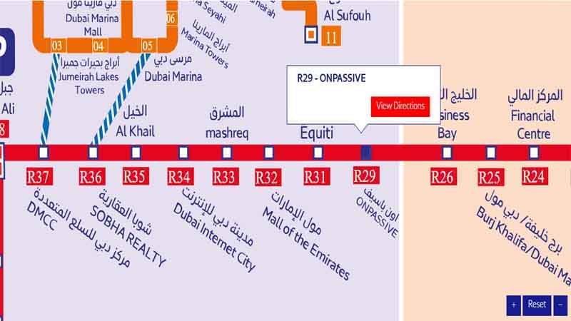
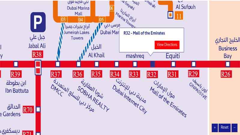
- Mall of the Emirates
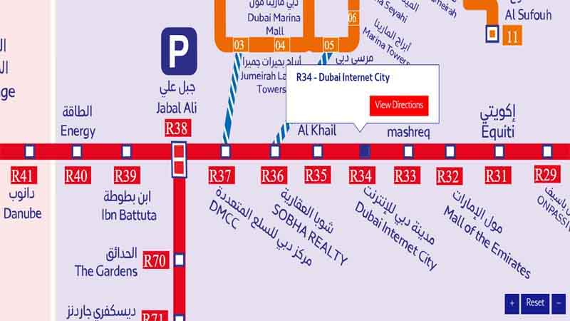
- Dubai Internet City
- Nakheel
- DAMAC Properties
- UAE Exchange (Terminal station)
This section serves many residential areas and business hubs, making it vital for daily commuters.
The Significance of the Red Line Metro Dubai
The Red Line plays a crucial role in Dubai’s public transportation system for several reasons:
- Airport connectivity: It provides a direct link to Dubai International Airport, making it convenient for travelers.
- Business district access: The line serves major business areas like Downtown Dubai, Business Bay, and Internet City.
- Tourist attractions: Many of Dubai’s popular attractions, such as the Burj Khalifa and Dubai Mall, are accessible via the Red Line.
- Residential areas: It connects numerous residential neighborhoods, facilitating daily commutes.
Navigating the Dubai Metro Station Map
Understanding the Dubai Metro station map is key to making the most of your journey on the Red Line. Here are some tips:
- Identify your current location and destination on the map.
- Note the direction of travel (towards Rashidiya or UAE Exchange).
- Count the number of stops to your destination.
- Look for interchange stations if you need to switch lines.
The RTA Metro Map: More Than Just the Red Line
While we’re focusing on the Red Line, it’s worth noting that the RTA metro map includes other lines as well. The Green Line, which intersects with the Red Line at Union Square and BurJuman stations, complements the Red Line by serving other parts of the city.
Metro Lines Dubai: A Growing Network
The Dubai Metro system is continually expanding. While the Red Line and Green Line are currently operational, plans for future lines are in the works. This ongoing development ensures that the metro lines Dubai will continue to meet the city’s growing transportation needs.
Dubai Map Metro: Understanding the Bigger Picture
When looking at the Dubai map metro, it’s important to consider how the Red Line fits into the larger urban landscape. The line follows major roads and connects key districts, making it an integral part of the city’s infrastructure.
Planning Your Journey on the Metro Red Line
To make the most of your travel on the metro red line, consider the following tips:
- Check the Dubai Metro map 2023 for the most up-to-date information on stations and routes.
- Use the Dubai Metro Red Line map to plan your journey in advance.
- Be aware of peak hours and plan accordingly to avoid crowds.
- Consider purchasing a Nol card for convenient and cost-effective travel.
Red Line Metro Stations: A Closer Look
Each station along the Red Line has its own unique features and serves different areas of the city. Let’s explore some of the key stations in more detail:
Rashidiya Station
As the eastern terminus of the Red Line metro, Rashidiya Station is a crucial transport hub. It features:
- A large park-and-ride facility
- Bus connections to various parts of Dubai
- Proximity to residential areas in Mirdif and Al Warqaa
Dubai International Airport Stations
The Red Line serves both Terminal 1 and Terminal 3 of Dubai International Airport. These stations offer:
- Direct access to airport terminals
- Luggage allowances for travelers
- Information desks for tourists
Union Square Station
As an interchange station between the Red Line and Green Line, Union Square is one of the busiest stations on the network. It provides:
- Easy transfers between lines
- Access to the historic Deira area
- Connections to water taxis on Dubai Creek
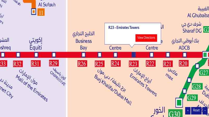
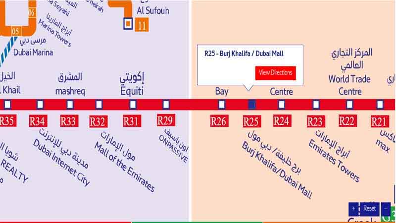
Burj Khalifa/Dubai Mall Station
This station serves two of Dubai’s most iconic attractions. Features include:
- A direct link to Dubai Mall via air-conditioned walkway
- Views of the Burj Khalifa
- Access to the Dubai Fountain
Mall of the Emirates Station
This popular station offers:
- Direct access to Mall of the Emirates
- Connections to Dubai’s ski resort, Ski Dubai
- Bus links to nearby residential areas
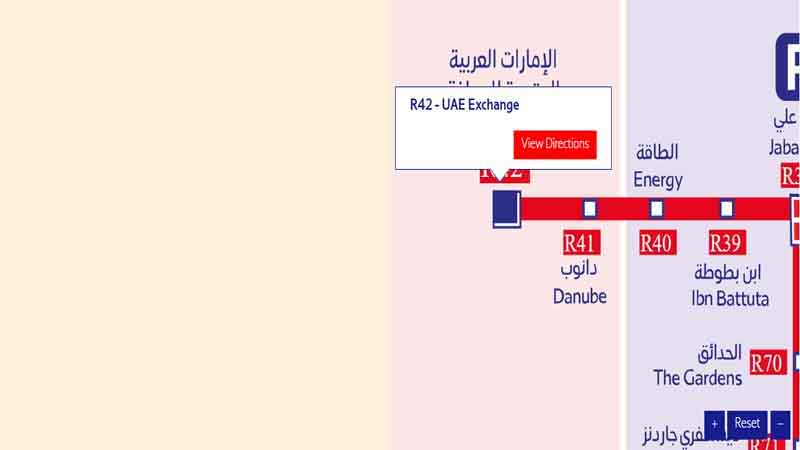
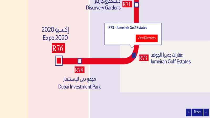
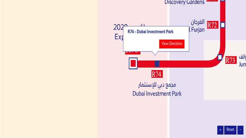
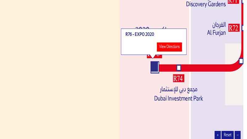
UAE Exchange Station
As the western terminus of the Red Line, this station provides:
- Access to Dubai Investments Park
- Connections to bus services for outlying areas
- Proximity to the Abu Dhabi border
The Evolution of the Dubai Metro Red Line
Since its inauguration in 2009, the Dubai Metro Red Line has undergone several expansions and improvements. The Dubai Metro map 2023 reflects these changes, showcasing new stations and extended routes.
Red Line Metro Route: Understanding the Journey
The Red Line metro route covers a distance of about 52.1 kilometers, making it one of the longest driverless metro lines in the world. The journey from one end to the other takes approximately 60-70 minutes, depending on the time of day.
Dubai Red Line: Impact on Urban Development
The Dubai Red Line has had a significant impact on urban development along its route. Areas near metro stations have seen increased commercial and residential development, showcasing the line’s importance in shaping the city’s growth.
Red Metro Line Dubai: A Technological Marvel
The Red Metro Line Dubai is not just a means of transportation; it’s a technological achievement. Some notable features include:
- Fully automated, driverless operation
- Climate-controlled stations and trains
- Advanced safety and security systems
FAQs About the Dubai Metro Red Line Map
- Q: How many stations are on the Dubai Metro Red Line? A: The Red Line metro consists of 29 stations, stretching from Rashidiya to UAE Exchange.
- Q: What are the operating hours of the Red Line? A: The Red Line metro Dubai operates from 5:00 AM to 12:00 AM Saturday to Wednesday, 5:00 AM to 1:00 AM on Thursday, and 5:00 AM to 1:00 AM on Friday.
- Q: How can I get a copy of the Dubai Metro map? A: You can find the Dubai Metro map at any metro station, on the RTA website, or through various mobile apps.
- Q: Are there any plans to extend the Red Line? A: While there are no current plans for major extensions, the Dubai Metro map 2023 reflects the most up-to-date information on the network.
- Q: How do I know which direction the train is going on the Red Line? A: The Red Line metro stations are marked with the terminal stations (Rashidiya or UAE Exchange) to indicate direction.
Conclusion: Mastering the Dubai Metro Red Line Map
Understanding the Dubai Metro Red Line map is key to navigating the city efficiently. Whether you’re a resident commuting daily or a tourist exploring Dubai’s attractions, the Red Line serves as a vital link across the city.
From the eastern terminus at Rashidiya to the western end at UAE Exchange, the Red Line connects some of Dubai’s most important districts and landmarks. By familiarizing yourself with the Dubai Metro station map and the features of key stations, you can make the most of this world-class public transportation system.
Remember, the metro Dubai map is more than just a guide – it’s a key to unlocking the city. Whether you’re heading to the airport, visiting the Burj Khalifa, or commuting to work in Internet City, the Red Line metro Dubai has you covered.
So next time you’re planning a trip across Dubai, take a moment to consult the Dubai Metro Red Line map. With its efficient service, modern facilities, and extensive coverage, the Red Line is truly the backbone of Dubai’s public transport network. Happy travels!